Stage 22 Pontevedra - Caldas de Reis
Route
Pontevedra
Caldas de Reis


Introduction
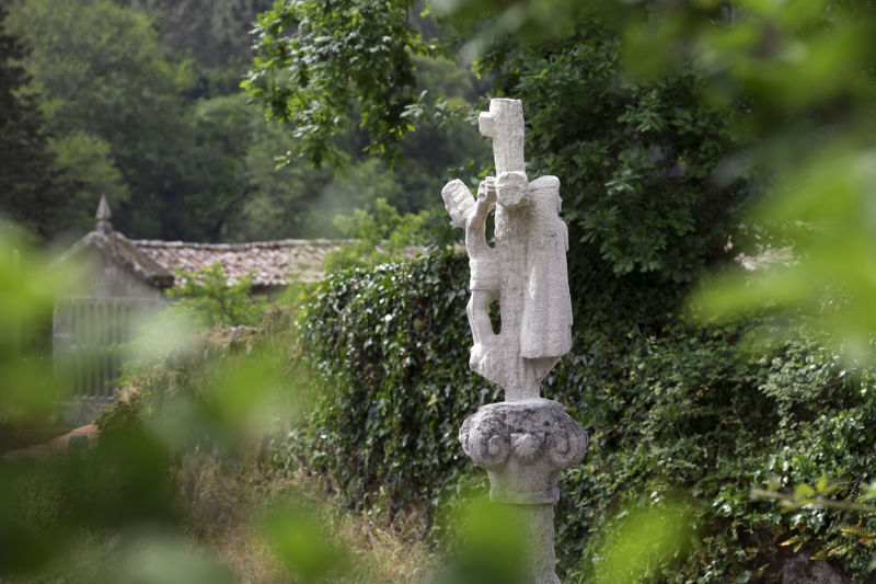
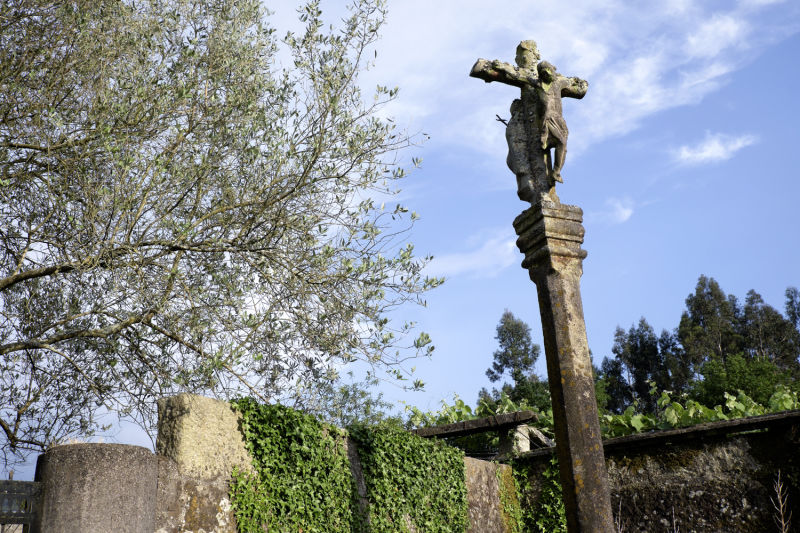
The calvaries route
There are so many calvaries on this stage that one might say the way was determined by drawing lines between crosses. But it will have been more the other way around. Calvaries are devotional landmarks in the daily lives of the populations, so that whoever walks the ways or in the countryside will always have in mind the importance of religion. It is another way of Christianising human landscape. In Touceda, just after the Alba church, the static St. James placed on the calvary reminds us that we are ever closer to hugging the Apostle at his cathedral home.
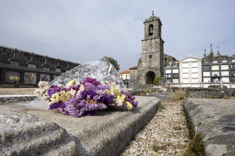
In Alba, the church is ancient and, right next door, we find the palace of the rector. Now in ruins, it was once a large residence, served by a 16 metres long granary-shaped barn. The only climb of the day is short and we don't even notice it, such is the beauty of the lane that enters the Reiriz woods, where old oak trees greet our steps.
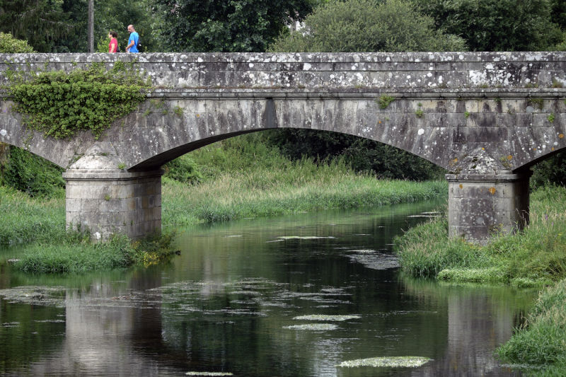
The descent is cheerful, towards EN 550 and Briallos, where there is a hostel. It is only a little further to Caldas de Reis, an ancient spa city where tradition places the birth of King Alfonso VII of León and Castile. A visit to the Burga Fountain is a must, to feel the sensation Caldas' waters.