Stage 10 Sernancelhe - Moimenta da Beira
Route
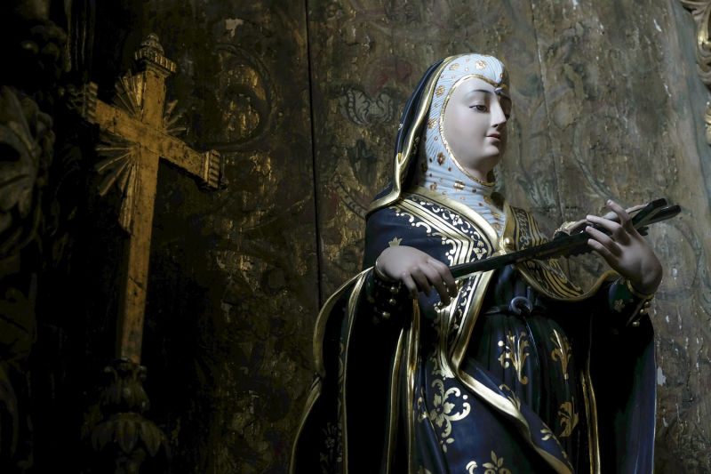
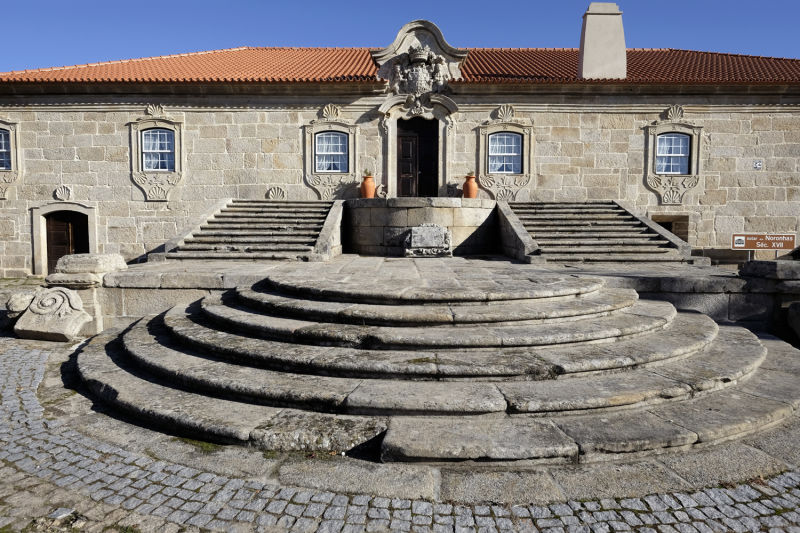
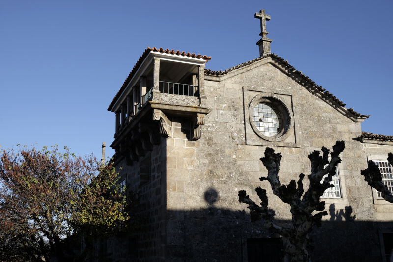
Sernancelhe
Moimenta da Beira


Introduction
Is it possible to see the world from this belvedere?
Vila da Ponte is on the banks of the Távora River, as its bed widens into broader horizons. Next is the Vilar reservoir, partly flanked by the way. At Vila da Ponte, we don't have an exact notion of this geography. To get that perception, you have to climb up to the sanctuary of Our Lady of Needs. From here you can see the great lake of Vilar and the peaks that enclose the basin of the Távora River, a small world before our eyes that awaits our pilgrim steps. After such a demanding climb, it feels good to fill your lungs and eyes with this horizon.
The route along National Road 226, between Penso and Rua, has dangerous sections and care must be taken if walking in a group, as there are places with no pavement and crossings at places where car traffic reaches high speed. The path to Moimenta da Beira is calm, through small villages and fast dirt tracks between pine forests. Moimenta is the heart of Terras do Demo, the title of a famous book by Aquilino Ribeiro and the brand of a no less famous wine. We will no longer find the harshness of the land witnessed by that writer, but we will know we are moving through the sentimental geography of one of the greatest creators of 20th century Portuguese literature.